Interactive map created for green spaces
Managing our green spaces to help the environment


The Council has created a new online interactive map to help residents see the green spaces that the Council owns and/or maintains.
Each area is also colour coded to show how many grass cuts it will receive a year. Any area that is not colour coded means the land it is owned and maintained by another organisation or company and not the Council.
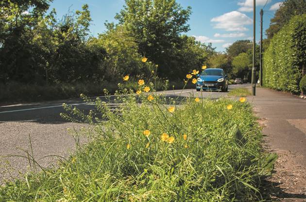
The Council is continuing to take an environmentally friendly approach to managing its green spaces throughout the borough, to help the local environment and encourage greater biodiversity.
This year’s grass cutting cycles have now begun and are based on a process of managing areas of land in different ways depending on their location and use. For example:
- Recreation grounds, sports pitches, cemeteries grass will be cut on a one to two week cycle
- Highway verges, parts of public open spaces - grass will be maintained on a four to five week cycle
- Conservation areas - public open spaces such as the old golf course, countryside sites will be cut once a year between August and October
(Our cutting cycles are affected by weather and ground conditions)
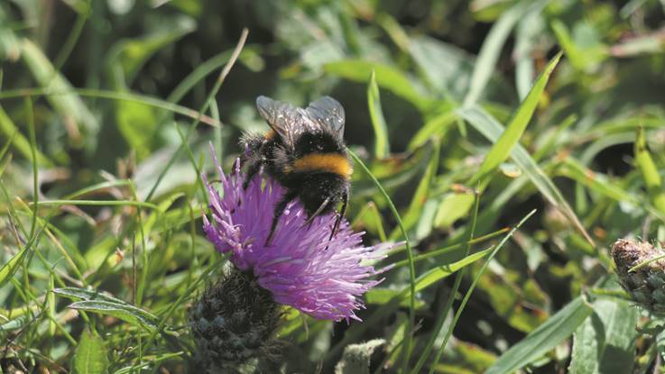
At the heart of this change in maintenance is a move from cylinder mowers to flail mowers. Flail mowers can cut longer grass and also cut the grass leaf into smaller lengths that will break down quicker returning nutrients to the soil. It will also provide greater opportunity for wildflowers and support pollinators such as bees and butterflies.
