
Cycling and walking
Information on cycling and walking in our borough
Read our Walking & Cycling Strategy 2023-2030
Walking in Eastleigh
Walking is the most affordable, flexible and socially inclusive mode of independent travel available to Borough residents and as a result it is vital that we encourage walking as much as possible, through taking measures to provide safe, secure, convenient walking routes. word
Our policy acknowledges there are a number of barriers to overcome in order to encourage more people to walk and emphasises the range of benefits walking can bring.
The aims of our policy are to:
- Encourage more people to walk to access services and facilities as opposed to using the car
- Improve the integration of walking with other sustainable transport modes to ensure realistic alternatives to the car are available
- Promote walking as part of a healthy lifestyle
- Assist in reducing our Borough's Carbon Footprint
Local walking schemes

Walk and Talks are led by our own Country Parks Officers and there are guided walks at Lakeside and Itchen Valley Country Parks as well as at specific routes in the south of the Borough. Learn more (select the Wellbeing Activities tab)
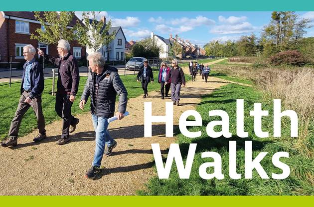
The long standing Health Walks programme is managed by the Council's HealthWorks team. Walks are led by our trained volunteer Health Walks Leaders and occur weekly across the Borough. View the programme
Hamble peninsular Trails
Tour the unique history, character and ecology of the Hamble Peninsula, incorporating the parishes of Bursledon, Hamble-le-Rice and Hound.
Hamble Valley Heritage Walks
Guided walks across the Hamble Valley and Eastleigh with a donation of £4.50 per adult requested. The trained guides bring the local area to life with stories and insights from history and today.
Country Parks
Other local walks and further
- The Strawberry Trail, Botley
- Three River Community Rail Partnership walks
- Walking routes in the Hampshire countryside
Ramblers walks and walking groups
Ramblers have a number of local walks and walking groups to join and explore:
Cycling
We are committed to creating a comprehensive network of cycle routes across the Borough. Already a substantial part of this network has been built, particularly in Eastleigh itself, and in Hedge End. In total there are about 71km of designated cycle routes within the Borough and over 40 locations with cycle parking facilities.
Borough-wide Cycle Map
- View an interactive version of the Borough Wide Cycle Map
- Download a PDF copy of the map
- Plan your journey