Contact us
How to get in touch
You can contact our Customer Service team in the following ways:
- Online: My Eastleigh
- Email: [email protected]
- Phone: 023 8068 8000
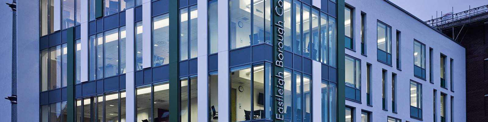
- In person: Eastleigh Borough Council, Eastleigh House, Upper Market Street, Eastleigh SO50 9YN (for Sat Navs use SO50 9FD). Please note that we do not have parking on-site. Please visit our car park information pages for details of town centre car parks.
When you interact with us, we may need to verify your identity. If you visit in person, please bring photo ID. When you call us we will ask you a series of question to verify you. You can learn more about this here.
Our Customer Service team's opening hours:
- Eastleigh House: Monday - Thursday 8:30am to 5pm, Friday 8:30am to 4:30pm
- Telephone: Monday - Friday 8:30am to 5pm
- Email: Emails will be replied to Monday to Friday 8:30am to 5pm, however we can not guarantee a real-time response
Outside of the above times, the out-of-hours service will be in operation.
When you interact with us, we may need to verify your identity. If you visit in person, please bring photo ID. When you call us we will ask you a series of question to verify you. You can learn more about this here.
Specific enquiries
Council Tax enquiries form
Phone: 023 8068 8470
You must include your account or claim reference number (if you have one) in any correspondence.
We aim to resolve all enquiries within 15 working days, although some complex cases may take longer.
Council Tax Support/Housing Benefit enquiries form
Phone: 023 8068 8046
You must include your account or claim reference number (if you have one) in any correspondence.
Universal Credit needs to be claimed for and administered online. If you need support to complete an application or are in receipt of Universal Credit and having difficulty managing your money, please contact Citizens Advice.
Email: [email protected]
Phone: 023 8068 8165
Media can email us at [email protected]
Our press office is staffed from 9am to 5.30pm, Mondays to Fridays, and can be reached on 023 8068 8010 or 8210.
Outside business hours: if your enquiry is very urgent, you can contact our out-of-hours service on 023 8068 8000 and listen to the instructions.
We post our latest news to our homepage, Facebook and Twitter.
Email: [email protected]
Phone: 023 8068 8264
Before contacting us, you can check Tree Preservation Orders (TPOs) and Conservation Areas on our interactive map.
Tree preservation order enquiry form
General tree enquiry form
Phone: 023 8068 8422
In the event of an emergency relating to trees on the Highway, contact:
- Police on 101 or 999 or report directly to
- Hampshire County Council on 0300 555 1375.
In the event of an emergency relating to trees elsewhere, contact the Council:
- Office hours: Monday to Friday 8.30am to 5pm - 023 8068 8000
- Should a tree-related incident occur outside office hours then telephone the Council's main telephone number (above) and follow the menu to obtain an emergency number. Please note, this is strictly for emergencies only.
If you are moving home or moving into/out of the Borough, you need to let us know.
Report it online 24/7
You can find relevant information and report most issues through our website and/or your MyEastleigh account. Either use the search bar at the top of the page or navigate to the right page from our homepage.
Please note the following services are delivered by Hampshire County Council:
- Adult services/social care
- Childrens' services
- Education services
- Highways – road maintenance, potholes, highway flooding, road drainage issues and overhanging trees and shrubs
- Lighting – broken and damaged street lights
- Household Waste and Recycling Centres (HWRC) – local waste tips
- Trading standards
- Royal Victoria Country Park and Manor Farm Country Park
- Rights of Way problems and view the rights of way network.
Other information available on our website
Under the Freedom of Information Act we must adopt and maintain a Publication Scheme where we ensure that a significant amount of information, about us and our services, is available without the need for a specific request to be made.
The information that you provide to us will be used to maintain our records. The information may be compared with that held by other Council departments, or other organisations, for the purposes of preventing or detecting fraud and in accordance with the General Data Protection Regulations 2018.